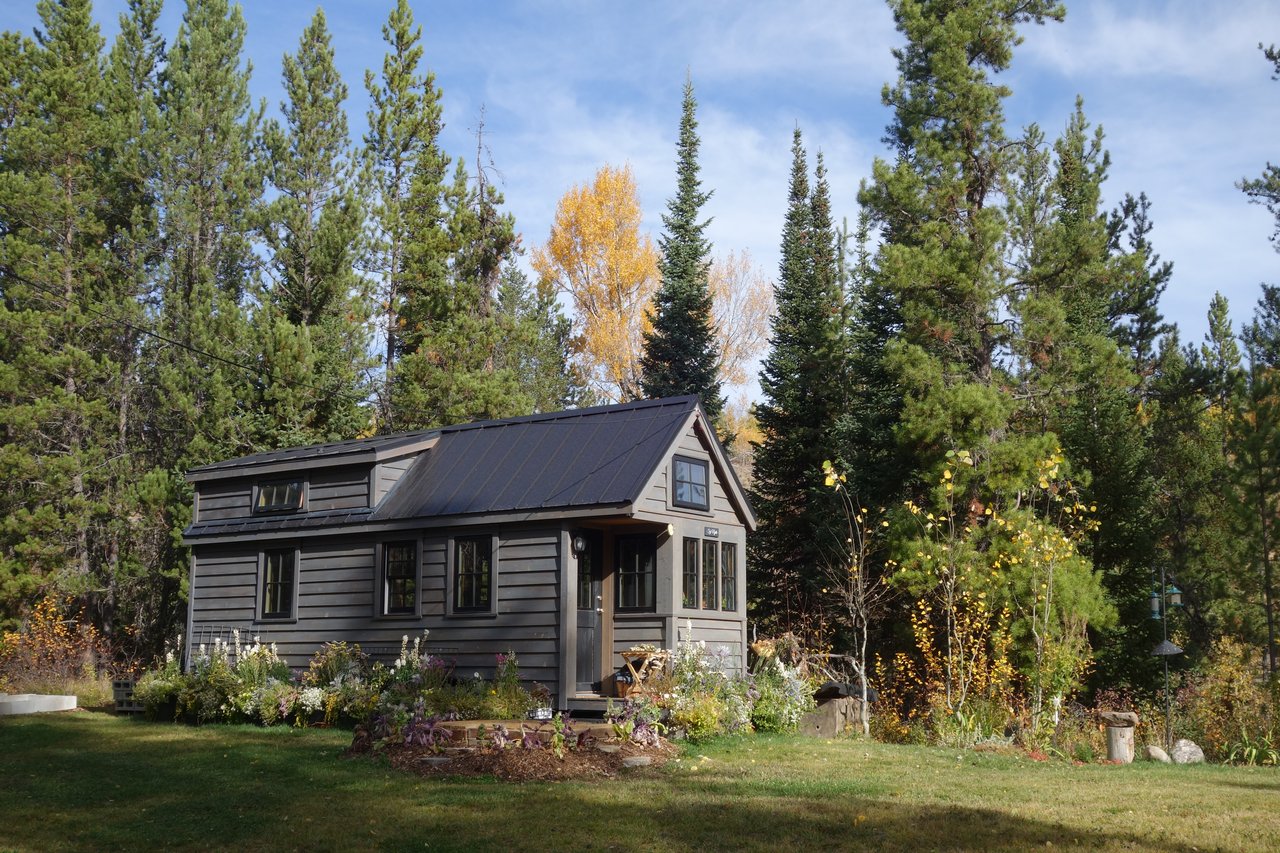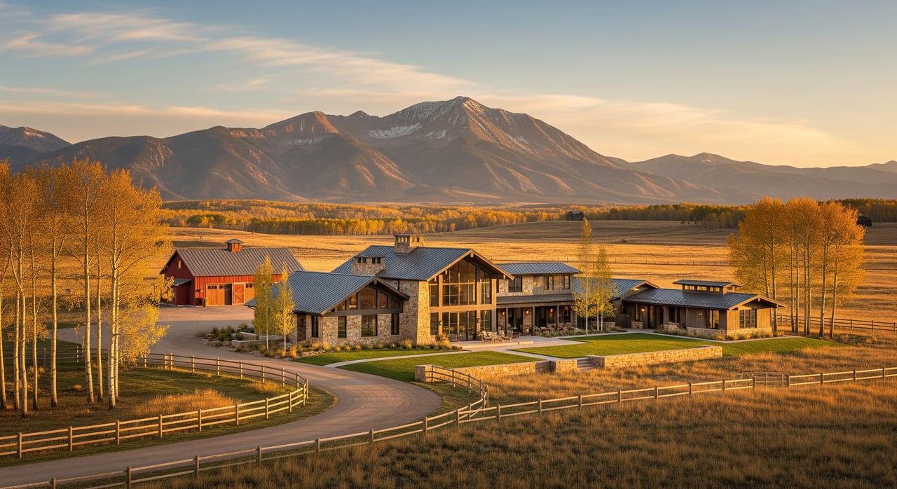
Trying to choose between Edgemont Ranch and Rafter J but not sure which fits how you actually live day to day? You’re not alone. Both La Plata County neighborhoods attract outdoor-focused buyers who want space, trail access, and a smooth drive to Durango. This guide gives you a practical, on-the-ground way to compare them, so you can tour with confidence and make a decision you’ll feel good about for years. Let’s dive in.
Compare by lifestyle, not hype
Start with what matters most to your daily routine, then collect the same facts for both neighborhoods so your choice is apples-to-apples.
Define your top three
- Trail access you’ll use at least three days a week.
- Privacy and lot feel that match your comfort level.
- Drive time to your regular destinations in clear and winter conditions.
- Rules that support your plans for garages, shops, or guest space.
What to document for each neighborhood
- Parcel boundaries and typical lot sizes.
- Zoning and allowable uses, including accessory structures and any short-term rental rules.
- Road status, surface, and who maintains and plows.
- HOA or road association, dues, and any special assessments.
- Trail access types, permitted uses, and nearest public trailheads.
- Topography, elevation, vegetation, and wildfire exposure.
- Utilities and services: water, septic or sewer, electric, propane, internet, and trash.
- Drive distance and typical time to downtown Durango under normal and winter conditions.
- Fire protection district and any community mitigation programs.
Tip: Record the source and date for every fact you collect. Neighborhood rules and road agreements can change.
Trail access and outdoor recreation
If you move to Durango for the lifestyle, trail access often makes or breaks daily happiness. Focus on convenience and certainty.
How to verify access
- Confirm recorded trail easements and public right-of-way using county GIS and parcel maps.
- Cross-check with official maps from public land agencies for trailheads and permitted uses.
- Visit street ends and potential access points to look for signage, gates, or fences.
- Note parking availability and trail condition at nearby trailheads.
What matters for daily use
- Proximity: a short walk or quick bike roll to a trailhead increases how often you’ll go.
- Use type: hiking, biking, horses, or winter options like fat biking or sledding.
- Seasonal closures: some areas close for wildlife or grazing.
- Maintenance and drainage: steep or poorly drained segments can be unreliable after storms.
Lot size feel, topography, and privacy
Acreage is not the whole story. How a lot sits can change the way it lives.
- Vegetation and slope can create privacy even on smaller parcels.
- Lot shape, setbacks, and building envelopes control where a home can sit.
- Neighbor distances and view corridors affect both privacy and future view security.
What to check on site:
- Walk multiple corners of the lot and listen for road noise.
- Look for seasonal drainage or ephemeral streams that reduce usable area.
- Ask about any planned nearby development or potential lot splits.
HOA, roads, utilities, and rules
These details directly shape your ownership experience, especially in winter.
HOA or association essentials
- Determine if there is a mandatory HOA, a road association, or none.
- Review CC&Rs for design standards, fire mitigation rules, exterior materials, and vehicle or equipment storage.
- Ask about current dues, reserve planning, and any history of special assessments.
Roads and winter maintenance
- Identify whether roads are public or private and who plows them.
- Ask about surface type, grading schedules, dust control, and typical post-storm response times.
- Clarify access for large vehicles like moving trucks or RVs.
Utilities and services to verify
- Water source: community system, shared wells, or individual wells. Obtain well logs and any water rights if applicable.
- Wastewater: community sewer, shared systems, or individual septic with permit records.
- Power: provider and distance to the nearest transformer.
- Fuel: natural gas availability or propane.
- Internet and cell: fixed wireless, fiber, satellite options, and any dead zones. Test coverage during your tour.
- Trash and recycling: curbside pickup versus centralized drop-off.
Fire protection and mitigation
- Confirm the fire protection district and typical response context.
- Ask about defensible space requirements and any neighborhood chipping or mitigation programs.
Drive times and seasonal travel
Your routes to downtown Durango, schools, and recreation change with weather and road conditions.
How to measure reliably:
- Map typical off-peak and peak drive times with a navigation app.
- Estimate winter travel with reduced speeds and allow extra time on rural roads.
- Compare alternate routes and note miles plus minutes for each.
Seasonal factors to consider:
- Plowing schedules on private roads may lag public roads after big storms.
- Spring runoff can affect low-lying sections and unpaved roads.
- Wildlife crossings and occasional gate closures near public lands may affect access.
Heuristics to keep in mind:
- If access includes long stretches of narrow, unpaved road, budget extra time for commuting and errands.
- For frequent mountain recreation, prioritize trailheads within a short drive and with reliable parking.
Side-by-side worksheet: Edgemont Ranch vs. Rafter J
Use this to capture verified details during your research and tours.
| Category | Edgemont Ranch notes | Rafter J notes | Source and date |
|---|---|---|---|
| Distance to downtown Durango | |||
| Typical drive time (normal) | |||
| Typical drive time (winter) | |||
| Road status and surface | |||
| Plowing responsibility | |||
| HOA or road association | |||
| Dues and assessments | |||
| Lot size range | |||
| Lot feel and vegetation | |||
| Trail access type | |||
| Nearest public trailhead | |||
| Utilities: water and sewer | |||
| Utilities: power, fuel | |||
| Internet and cell options | |||
| Fire protection district | |||
| Restrictions: ADUs, livestock |
Plan an efficient tour day
- Order showings by distance from downtown Durango to reduce backtracking.
- Check weather and recent road reports; bring AWD or 4WD if you expect steep or unpaved roads.
- Walk a few blocks in each neighborhood and visit any trailheads you plan to use.
- Test cell coverage at the property and along the access roads.
- Request HOA documents, road agreements, and utility details ahead of time.
- Take photos of lot corners, neighboring homes, and road segments for later comparison.
What to ask during tours
- Who plows the roads, how quickly after storms, and to what extent.
- Whether you can build a shop, ADU, or keep certain animals, and what permits are needed.
- How you access trails from the property and where public trailheads are located.
- Utility connection details, potential tap or extension fees, and service providers.
- Wildfire risk, defensible space requirements, and any community mitigation programs.
- Typical winter commute times according to residents or the association.
Choose the best fit for your lifestyle
If you prioritize daily trail access, confirm walkable or quick-roll options and permitted uses. If privacy matters most, focus on lot orientation, vegetation, and building envelopes rather than acreage alone. If winter driving is your reality, weigh road status, surface, and plowing plans as heavily as commute distance. The right choice is the one that supports your routine without constant tradeoffs.
Ready to compare homes and lots in Edgemont Ranch and Rafter J with a local who prioritizes lifestyle fit? Reach out to Keith Darner for neighborhood-level guidance and a tour plan tailored to how you live.
FAQs
What should I verify about trail access in Edgemont Ranch and Rafter J?
- Confirm recorded trail easements, nearest public trailheads, permitted uses, and physical access points during an in-person visit.
How do I compare winter driving for these Durango neighborhoods?
- Map normal and winter drive times, identify public versus private road segments, and ask who plows and how quickly after storms.
What HOA or rule differences impact daily life most?
- Look for design standards, fire mitigation requirements, storage and parking rules, short-term rental policies, and any special assessment history.
How can I judge privacy beyond lot size when touring?
- Walk the lot to assess slope, tree cover, building envelopes, neighbor distances, and view corridors that could change with future building.
Which utilities should I confirm before making an offer?
- Verify water source, septic or sewer status, electric connection and costs, propane or gas availability, internet options, and trash service details.
Who do I contact for official neighborhood documents?
- Request CC&Rs and budgets from the HOA or road association, and confirm road status, easements, and permits with county offices and recorded documents.