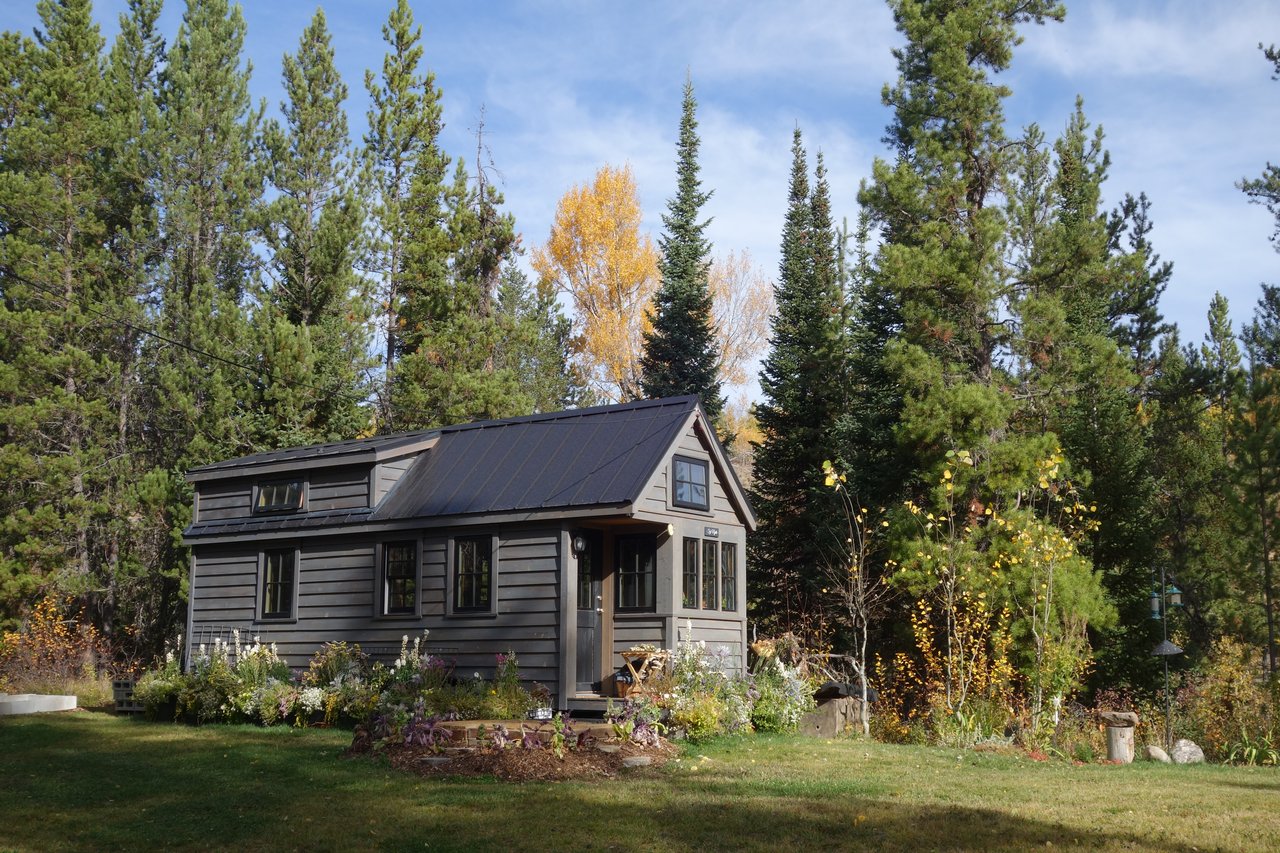
Eyeing a lot in Rafter J and wondering if you can actually build on it? In Durango’s foothills near Lake Nighthorse, not every scenic parcel is ready for a home. You want clear answers before you invest time and money. In this guide, you’ll learn what “buildable” means in La Plata County, what to verify in Rafter J, typical timelines and costs, and which local offices to contact so you can move forward with confidence. Let’s dive in.
What “buildable” means in Rafter J
A lot is buildable when county officials will allow a habitable home in a defined building area that meets zoning, setbacks, environmental rules, water and wastewater requirements, safe access, and wildfire standards. It also means utilities are available or can be added in a practical way.
Key determinants you should verify early:
- Zoning and setbacks set where and how you can build.
- Legal parcel and title confirm the lot is recorded, with no easements that block the building area, and with legal access.
- Slope and soils affect where a home can sit and what foundations cost.
- Access and roads must meet county standards for emergency vehicles.
- Water and wastewater require either municipal connections or approved well and septic.
- Utilities for power and communications must be feasible to extend.
- Environmental rules may affect areas near floodplains, wetlands, or cultural resources.
- Wildfire risk and defensible space influence approvals and insurance.
- CC&Rs and design review in Rafter J can shape your home’s size and materials.
Zoning, setbacks, and envelopes
Start by confirming the zoning district with La Plata County Community Development. Zoning controls the minimum lot size, allowed uses, height, lot coverage, and required setbacks. Ask for any overlay districts and whether a recorded plat identifies a building envelope.
If a subdivision plat shows a building envelope, your house and main improvements must fit there. A current title report will show easements that can shrink or eliminate the usable area, so review it closely.
CC&Rs and design review
Many Rafter J properties have covenants and an Architectural Review Committee. Obtain the CC&Rs and design guidelines early. These can influence footprint, exterior materials and colors, roof pitch, fencing, and site placement. Align your concept plan with both county rules and the ARC process to avoid redesigns and delays.
Access and roads
Confirm how you reach the lot and whether that road meets county emergency access standards. Some roads are private and may need upgrades for width, grade, surfacing, turnarounds, and winter maintenance. You may also need a maintenance agreement. Do not assume road frontage means immediate construction access.
Water and wastewater
Clarify if the lot can connect to municipal water or sewer, or if it will rely on a private well and on-site wastewater system.
- Municipal service: Ask the City of Durango Utilities or relevant provider about availability, capacity, and connection fees.
- Private well: Consult the Colorado Division of Water Resources about well permit rules and typical depths in the area.
- Septic: La Plata County Environmental Health oversees on-site wastewater systems. A soils evaluation and perc test will confirm system type and feasibility, along with required well and septic setbacks.
If septic is not feasible, your path may require a sewer connection, if available, or a different lot.
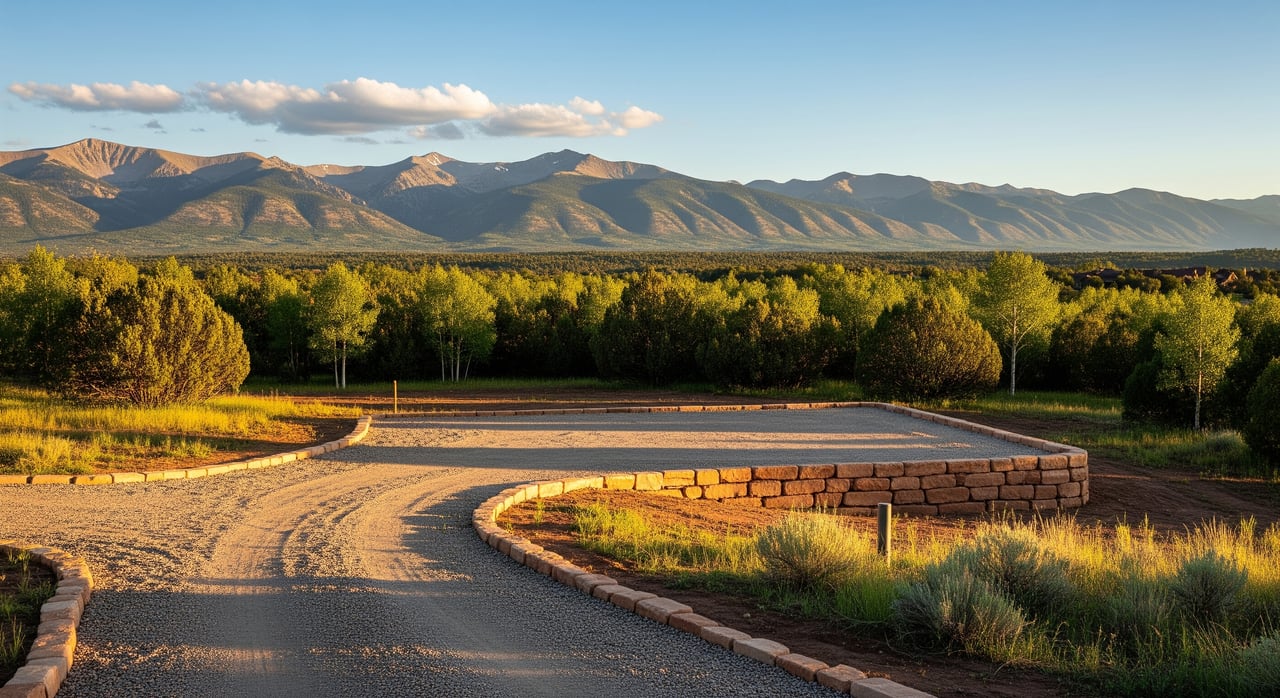
Slope, soils, and geotechnical
Steeper, benchy lots are common near Lake Nighthorse. Slopes over roughly 15 to 20 percent often trigger geotechnical reporting and can lead to engineered foundations, retaining structures, and more grading. Shallow bedrock, expansive clays, or high groundwater can also affect placement and cost. A topographic survey and geotechnical report will help you site the house and driveway accurately.
Wildfire risk and defensible space
Rafter J is in the wildland-urban interface. Expect requirements for defensible space, vegetation clearance, and sometimes specific materials. Check with the local fire protection district for guidance on hydrants, driveways, turnarounds, and mitigation standards. These steps improve safety and can affect insurance.
Environmental and cultural constraints
Review FEMA flood maps, county floodplain layers, and soils data to avoid setbacks and special permits. If the property has low-lying or wet areas, a wetlands delineation may be needed. Near Lake Nighthorse and the Animas-La Plata Project, federal agencies such as the U.S. Bureau of Reclamation may have a role. In areas with sensitive resources, you may need added review before dirt work.
Utilities and serviceability
Confirm the path and cost for power and communications. La Plata Electric Association handles many rural extensions and will provide written estimates for line drops and trenching. Telecom providers can do the same. Long runs, rock trenching, or difficult terrain can raise costs, so get estimates in writing during your contingency period.
How to verify buildability: a checklist
Gather these documents before you remove contingencies:
- Current title report, full chain of title, and recorded plat or subdivision map
- Zoning designation, setbacks, and any overlay districts
- CC&Rs and ARC guidelines, plus HOA contacts
- County GIS printouts for parcel, slope, floodplain, soils, and easements
Schedule these site tests and reports:
- ALTA boundary and topographic survey
- Perc test and soils evaluation for septic via a county-approved designer
- Well feasibility review with the state, or municipal service availability letters
- Geotechnical engineering report if slopes, bedrock, or instability are possible
- Wetlands delineation if you see low-lying or saturated areas
- Wildfire risk review and vegetation assessment
- Access and driveway standard review against county requirements
- Utility availability letters and cost estimates for electric and communications
- A preliminary site plan locating the home, driveway, and utilities within setbacks
Ask each agency or pro:
- What are the exact setbacks, height, and lot coverage limits?
- Is municipal water or sewer available, and what are the connection fees and timelines?
- Will your proposed driveway meet the county’s emergency access standards?
- Is any part of the parcel in a FEMA floodplain or mapped wetland?
- What septic systems are commonly approved on nearby soils?
- What wildfire mitigation is required for new construction?
Timelines and cost ranges
Every site is different, but typical ranges in La Plata County look like this:
- Title and document collection: 1 to 2 weeks
- ALTA and topo survey: 2 to 6 weeks
- Perc and soils testing: 1 to 4 weeks
- Geotechnical report: 2 to 6 weeks
- Utility availability letters and estimates: 2 to 8 weeks
- County reviews and permits: 4 to 12 or more weeks
- Road or utility improvements: weeks to many months
For many rural lots with existing access and nearby utilities, plan for 2 to 6 months of pre-construction due diligence and permitting. If you need road upgrades, long utility extensions, or environmental or engineering work, plan for 6 to 12 or more months.
High-level cost drivers to expect:
- ALTA and topo survey: low thousands of dollars
- Perc and soils tests: low hundreds to a few thousand
- Geotechnical report: low thousands to several thousand
- Septic installation: low five figures to mid five figures
- Well drilling: often low five figures, depth dependent
- Electric and communications extensions: small service drop fees to tens of thousands for long runs
- Driveway or private road work: a few thousand to tens of thousands or more
- Steep site prep and retaining walls: can add tens of thousands
- Permit and impact fees: confirm county schedules and any utility connection fees
Common pitfalls to avoid
- Assuming road frontage equals build-ready access
- Assuming city water or sewer is available without written confirmation
- Overlooking easements that cross the prime building area
- Underestimating slope-related grading, retaining, and foundation costs
- Delaying ARC approvals until after design or permit submittal
- Skipping geotechnical studies on sloped or rocky parcels
Who to contact in La Plata County
- La Plata County Community Development for zoning, setbacks, and permits
- La Plata County Public Health & Environment for on-site wastewater rules
- La Plata County GIS and Assessor for parcel, floodplain, soils, and slope layers
- City of Durango Utilities or relevant provider for water and sewer availability
- Colorado Division of Water Resources for well permits and water rights
- La Plata Electric Association for power extensions and estimates
- Local fire protection district for WUI and defensible space guidance
- U.S. Bureau of Reclamation for Lake Nighthorse area context
- Local surveyors, civil and geotechnical engineers, septic designers, and well drillers
Plan your next step
If you love a Rafter J lot, start with the title report, recorded plat, and CC&Rs. Order a boundary and topo survey, then confirm zoning and setbacks with the county. Line up septic and well feasibility, and request written utility estimates. A quick site walk with a builder or civil engineer will help you price grading, driveways, and foundation options.
If you want a local partner to keep the process smooth, connect with a trusted advisor who knows Rafter J and the Lake Nighthorse area. For a consultative review and introductions to local pros, reach out to Keith Darner. Let’s connect.
FAQs
What does “buildable lot” mean in Rafter J?
- It means county agencies can permit a home within setbacks and any building envelope, with feasible water, wastewater, safe access, wildfire mitigation, and utility service.
How do I confirm if a well is allowed on my lot?
- Check with the Colorado Division of Water Resources for well permit rules and review nearby well logs; if municipal water is possible, compare costs and timing.
Can I connect to Durango water or sewer from Rafter J?
- Some areas near Lake Nighthorse can access municipal services, but many rely on wells and septic; verify availability and connection terms with the utility provider.
How steep is too steep to build in this area?
- Slopes over about 15 to 20 percent often trigger geotechnical review and engineered solutions; a topo survey and geotech report will define your options.
What is a perc test and why does it matter?
- A perc and soils evaluation confirms if an on-site wastewater system is feasible and what type is appropriate under county rules.
How long does permitting and due diligence take?
- Simple rural lots often take 2 to 6 months before construction; complex sites with road upgrades, utilities, or environmental work can take 6 to 12 or more months.
Who maintains private roads in Rafter J?
- Private roads typically rely on owners through an agreement or HOA; the county may require improvements for emergency access before issuing building permits.